

Stage 5
From Sega di Ala to Erbezzo
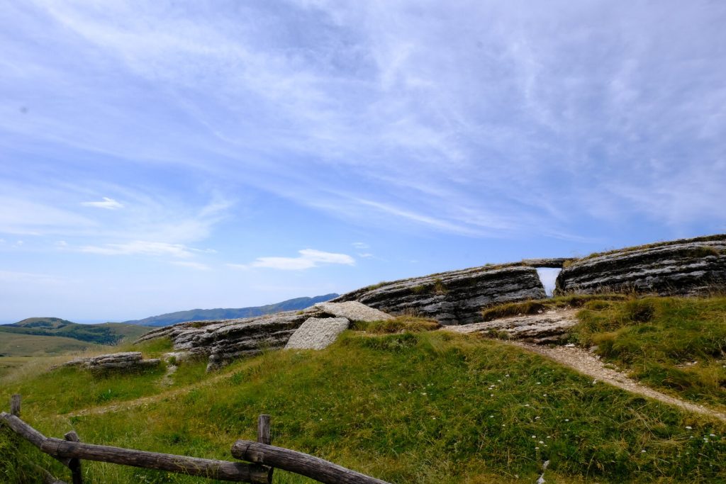
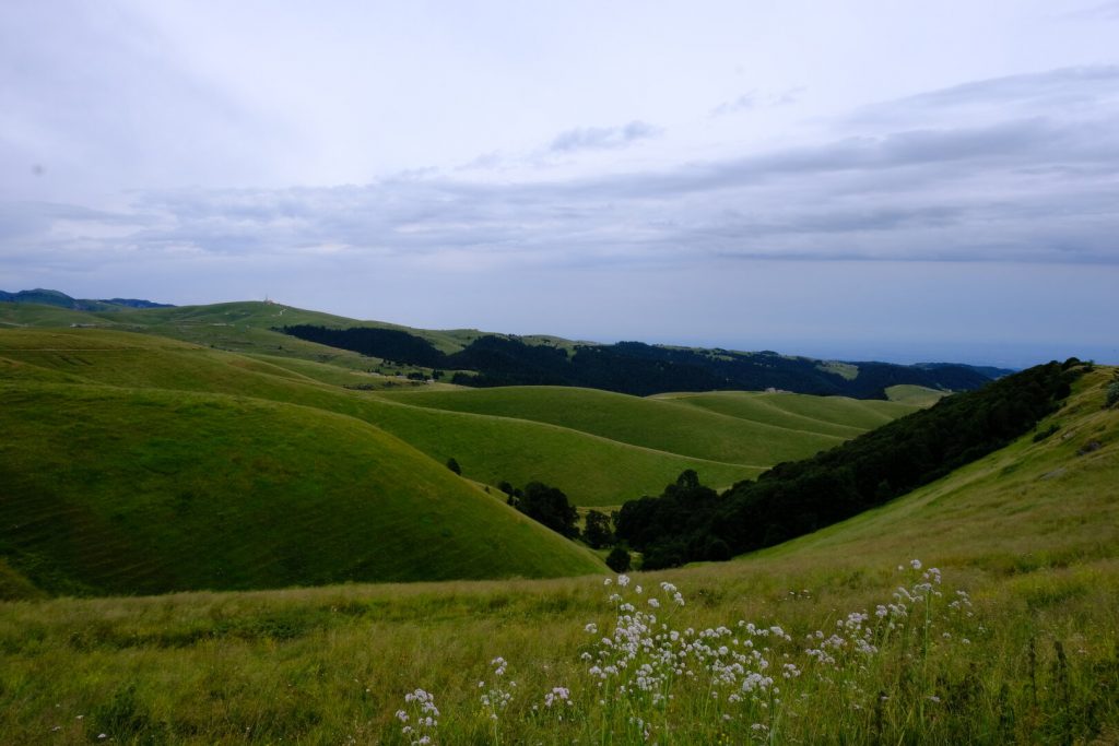
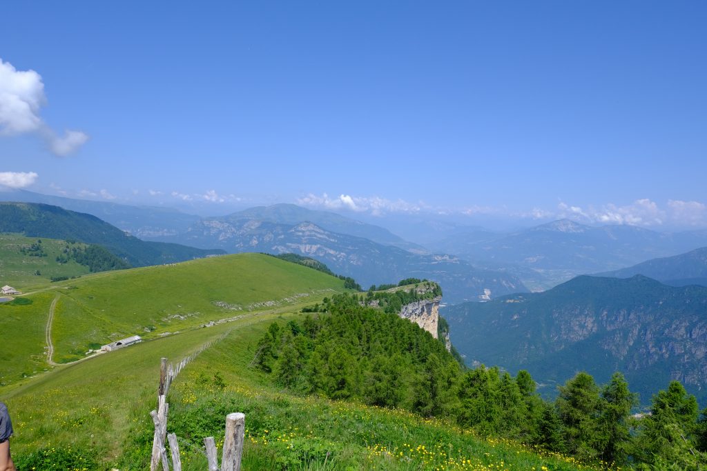
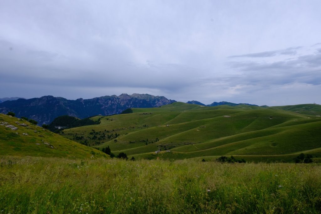
High-altitude stage with wide horizons, from Sega di Ala to Erbezzo, across the pastures and mountain huts of western Lessinia. This section reaches the highest point of the Cammino, winding through deep valleys, woods, and ancient hamlets. Along the way are mountain lodges, alpine meadows, and First World War positions, with sweeping views from the Po Valley to the Dolomites.
ROUTE
The route begins at the parking area in front of Locanda Alpina in Sega di Ala. A flat dirt road heads north, and after a short stretch, it joins the forest road of the “Giro delle Malghe” trail. Turning right, the ascent begins with a moderate incline.
The first section crosses forests of fir and beech trees, where you’ll come across a majestic specimen known as the “Queen” — a monumental beech tree around 300 years old, clearly visible along the trail.
After just over 3 km, you reach the vicinity of Malga Lavacchione (1405 m). Here, turn right toward Malga Coe (1540 m), which you reach via a steady, never too steep climb.
The trail then continues toward Monte Castelberto (1765 m), the highest point of the entire route.
Rifugio Castelberto (1765 m) is located on the summit of the mountain bearing the same name. From the refuge, the panoramic view stretches from the Adige Valley to Pasubio and Mount Carega, from Lessinia to Valpolicella and Lake Garda. To the west, you can spot Mount Baldo and the Adamello range, while to the north, you can recognize the Brenta group, Mount Bondone, and Paganella.
A descent of less than one kilometer follows, leading to a left turn onto trail CAI 250, which runs across open terrain along the hillside until it reaches the ridge. Follow the ridge to the beginning of the old military road that descends to Rifugio Podestaria (1665 m), a former barracks with a large internal courtyard and a small chapel.
From the courtyard, take the descending trail on the right, and after about 200 meters, turn right again onto a clearly visible path, steep in parts but stable, that leads into the Vajo delle Ortighe (CAI trail 256). Continue downhill through the valley floor until the trail merges with the Vajo dell’Anguilla (CAI 248), staying at the bottom of the ravine.
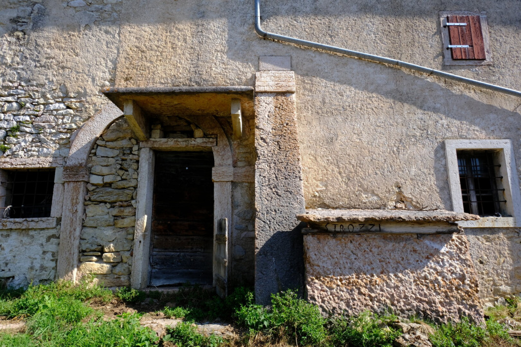
When the trail begins to climb steeply to the right, leave it after about 500 meters and turn left to ascend to the hamlet of Strozzi. From there, continue along an easy road to the hamlet of Menegazzi.
Just outside Menegazzi, leave the road and take a path to the right leading to the hamlet of Bernardi. From here, follow a short stretch of paved road to the left to easily reach the access road into the center of Erbezzo.



Where to Eat

Rifugio Castelberto
Tel. 393 992 8234
https://www.rifugiocastelberto.it/
Rifugio Podestaria
Tel. 3274354483
Erbezzo
Ristorante Pizzeria Berna
Via Roma, 81
Tel. 045 707 5018
https://www.pizzeriaberna.it
Ristorante Pizzeria Al Terrazzo
Via Monti Lessini, 70
Tel. 045 707 5023
https://www.locandaalterrazzo.com/
Where to Sleep

Rifugio Castelberto
Tel. 393 992 8234
https://www.rifugiocastelberto.it/
Erbezzo
Ristorante Pizzeria Berna
Via Roma, 81
Tel. 045 707 5018
https://www.pizzeriaberna.it
Ristorante Pizzeria Al Terrazzo
Via Monti Lessini, 70
Tel. 045 707 5023
https://www.locandaalterrazzo.com/
A Glimpse of Stage 5

Must-See
The Malghe of the High Pastures
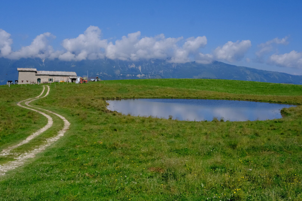
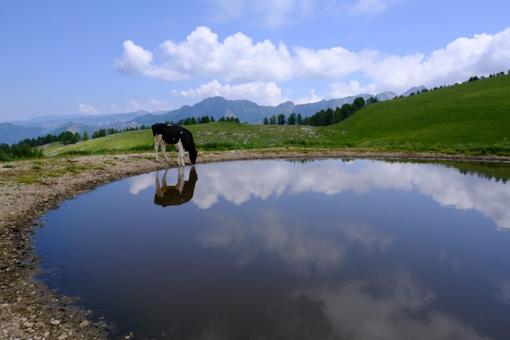
The tradition of summer grazing in the high Lessinia began in the Middle Ages, when these lands were managed by the great Veronese monasteries, which already collected rents for the use of the pastures. With the rise of the Scaligeri, things changed: the pastures were auctioned to Veronese nobles (thus the Podestaria was established) and many farmers, the Cimbri, were brought in from the Vicenza area and from Germany to cultivate the land, raise livestock – including sheep for wool – and exploit the forests.
From that time on, the word “malga” took on a double meaning: it refers both to the pasture land, rented out to farmers from the plains according to the number of animals, and to the building where the dairyman worked the milk. The traditional malga consisted of two main rooms: one for resting the milk and producing cream and butter, the other for heating the skimmed milk to make cheese. Often the structure also included a small stable, a room for cheese aging, and in some cases even a fenced vegetable garden.
The Queen’s Beech
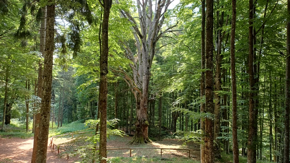
The Queen’s Beech is one of the most remarkable monumental trees in the Lessinia Mountains. This majestic European beech (Fagus sylvatica), estimated to be 250–300 years old, rises to over 35 metres in height, with a trunk circumference exceeding 5 metres. Its exceptional size and historical significance have earned it a place on Italy’s National Register of Monumental Trees.
The tree grows in a beautiful wooded pasture, a traditional Lessinia landscape where open grasslands, ancient trees, and mountain farms have coexisted for centuries. This unique environment, shaped by generations of careful pastoral management, preserves both the area’s rich biodiversity and its cultural heritage.
Standing beneath the Queen’s Beech means pausing before a true living monument. Season after season, it continues to bear witness to the history of Lessinia and to the enduring bond between the mountain and the people who have lived and worked here for centuries.
Castelberto
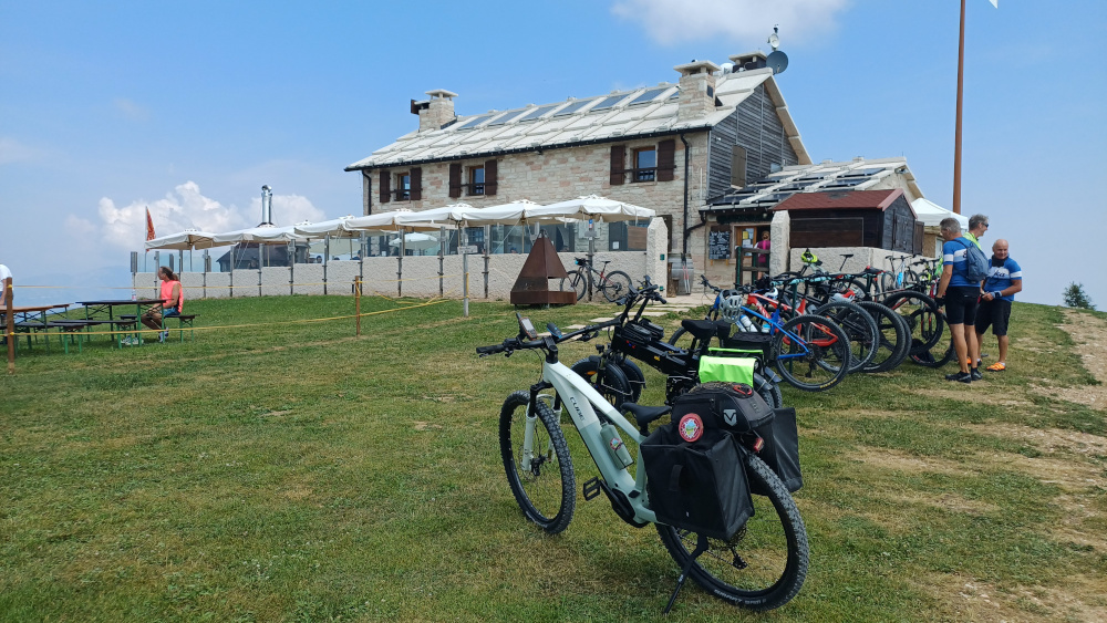
Castelberto (1,765 m a.s.l.) is the highest point of the entire Wine and Stone Trail and also marks the northernmost edge of the Western Lessinia. Thanks to its commanding position, it served for centuries as a strategic lookout and border control point along the frontier with the Austro-Hungarian Empire. From here, soldiers kept watch for the smugglers of Lessinia who, during the winter months when work was scarce, crossed into the area around Ala to buy coffee, tobacco, and spirits—goods heavily taxed in Italy—and then secretly resold them in the villages and shops of the Verona region.
During the First World War, Castelberto retained its strategic importance even after the front line had moved north of Ala. Extensive trench systems were built around the summit, and in just 45 days the military road from Erbezzo was completed—an impressive engineering achievement for its time.
Today, Castelberto is home to a welcoming mountain refuge that makes this historic summit an ideal place to rest along the trail. At the highest point of the Wine and Stone Trail, visitors are rewarded with sweeping 360-degree views across the Lessinia Mountains and the Trentino landscape. Here, history and nature come together, making Castelberto one of the most iconic landmarks of the entire journey.
Podestaria
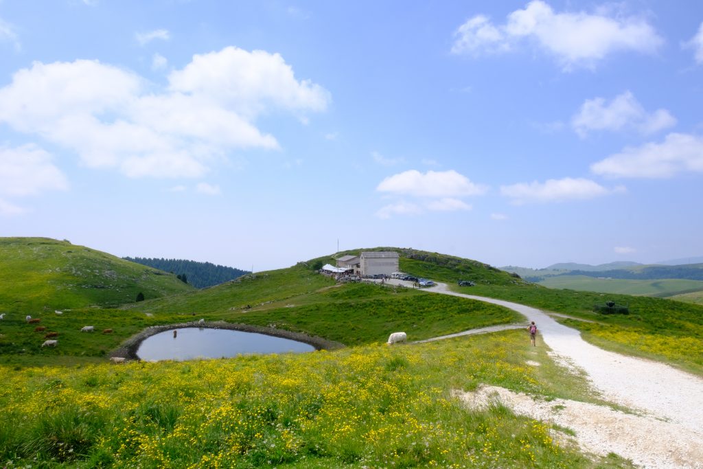
Since the Early Middle Ages, these lands have been dedicated to pastoralism. The main landowners were city monasteries – including Santa Maria in Organo and San Zeno – which, during the Venetian era, were forced by the Republic of Venice to auction off their properties. In 1419, some owners joined together to form the Noble Company of the Lessini, which each year elected the Podestà of the Lessini, responsible for collecting contributions, ensuring the respect of contracts, and administering civil justice.
Lease contracts spread widely, lasting from 3 to 9 years. These did not only involve monetary payments, but also specific duties for tenants: maintaining huts and dairies, cleaning the pozze (watering ponds), and caring for the woods.
In the 18th century, Lessinia hosted about 7,000 cows – a number similar to today – and as many as 30,000 sheep, now almost disappeared. The Noble Company, active until the late 19th century, built the small church of San Bartolomeo: August 24, the saint’s feast day, marked the beginning of the return of the herds to the valley.
Ancient and renowned is the Sagra della Podestaria (first Sunday of August), suppressed during the Austrian period and revived at the end of the 20th century thanks to the Mountain Community of Lessinia.
Vajo de le Ortighe – Nettles Valley
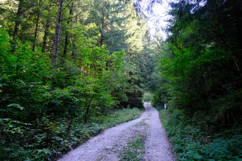
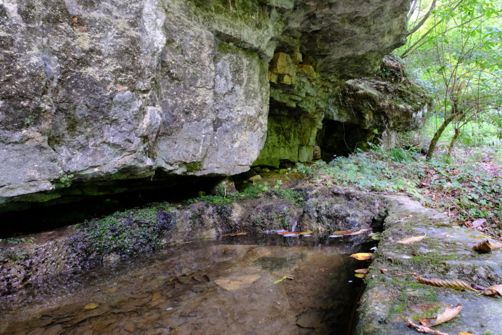
From Podestaria Mountain Hut, the trail heads south into the Vajo delle Ortighe, a narrow valley that marks the transition from the Lessinia plateau to the wooded lower slopes. For the first two kilometres, the path descends quite steeply, following the floor of this confined ravine between rocky walls, exposed limestone outcrops, and increasingly dense vegetation. The atmosphere is cool, shaded, and peaceful, with ancient dry-stone walls bearing witness to centuries of human presence in this secluded mountain landscape.
Beyond the initial descent, the gradient becomes gentler and the trail is easier to follow. The landscape gradually opens up as the route leaves the ravine, winding through quiet woodlands and an ever-changing natural setting. Carved over the centuries by flowing water, the Vajo delle Ortighe offers one of the most evocative and rewarding sections of the entire Wine and Stone Trail.
Erbezzo
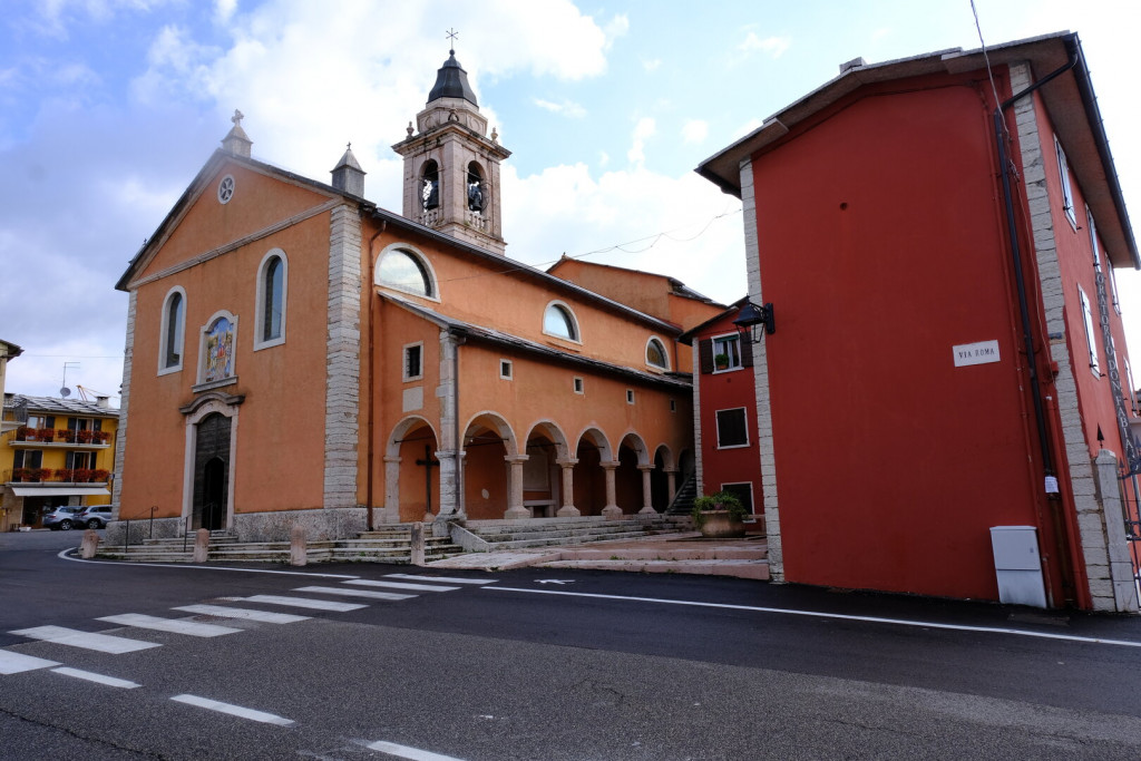
Erbezzo, at 1,118 meters above sea level, is the highest municipal center in the province of Verona. It has about 850 inhabitants and covers an area of 32 km². Its name, documented since the Middle Ages as Arbetum, reflects a territory historically contested between the city of Verona and various ecclesiastical institutions.
From the 14th century onward, populations of German origin arrived from the east, especially from Velo and Roverè. They acquired land to be cleared, first in the southern areas and later in the high pastures used for summer grazing. Much of the timber was destined for charcoal production. Traces of these settlements are still visible today in the local place names, in the layout of the hamlets, and in the architectural style of the houses.
At the heart of the village stands the parish church of Saints Philip and James, built in the early 16th century and enlarged in the 18th century. Noteworthy are the exterior arcades running along the sides of the building and, inside, the 1735 organ and the baptismal font (late 15th century), carved from a single block of Rosso Ammonitico marble.