

Stage 4
From Fosse to Sega di Ala
A scenic and historically significant stage linking the Veneto and Trentino regions, from the high hamlets of Fosse to the alpine pastures of Corno d’Aquilio, with magnificent views over the Lessinia Mountains and Lake Garda. Along the route you will encounter the Spluga della Preta, a renowned karst abyss more than 800 metres deep, the Busoni di Cima Borghetto, remarkable First World War military tunnels, and the Grotta del Ciabattino, a natural cave that, in winter, is adorned with spectacular ice formations.
Route
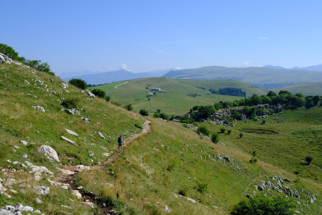
From the centre of Fosse, follow the road that climbs from the parish church along the E7 – CAI Trails 240/251. After a short distance, leave the trail and head towards Contrada Camparso. A final climb leads to Contrada Tommasi, where you continue straight along the road ascending towards Corno d’Aquilio. After about 600 metres, turn left onto CAI Trail 240, which crosses pastures and mountain paths, passing the Grotta del Ciabattino before reaching the summit of Corno d’Aquilio (1,545 m), easily recognised by its metal summit cross and renowned for its outstanding panoramic views.
Return along the same trail to a grassy hollow, then climb straight uphill to a small chapel. From here, a short detour to the right leads to the Spluga della Preta, an internationally renowned karst abyss more than 800 metres deep.
Retrace your steps to CAI Trail 234, passing the junction for the Rocca Pia variant, then continue along CAI Trail 250. After about 1 km, turn left onto the road descending towards Sega di Ala and, after roughly 100 metres, take the forest track on the left. The route crosses a dense beech forest and climbs to the ridge near Malga Cime, with a short detour along the way leading to a magnificent panoramic viewpoint overlooking the Adige Valley.
The trail then reaches Monte Corno and descends to the Busoni di Cima Borghetto, a remarkable system of military tunnels excavated by the Italian Army in 1916 beneath Cima Borghetto. The main tunnel extends for more than 300 metres (a torch is required). At its end, a staircase leads to a panoramic terrace with another splendid view over the Vallagarina Valley.
The route continues south along a pleasant gravel road which, after about 2 km, reaches Villaggio San Michele. From here, follow the level paved road to Sega di Ala, the finishing point of the stage.


Rocca Pia Variant (EE)
The Rocca Pia variant offers the opportunity to reach Passo di Rocca Pia and the panoramic rocky spur overlooking the Adige Valley. It is a more demanding alternative to the main route, mainly due to the steep elevation gain concentrated in the final climb to Malga Fanta. It is recommended for well-trained hikers who wish to add a route of historical and scenic interest to Stage 4.
Route
From Contrada Tommasi, turn left and cross the hamlet of Coste. Continue northwest along an unpaved road, entering a woodland with occasional panoramic views over Lake Garda and the Adige Valley, until reaching Passo di Rocca Pia, on the border between the Veneto and Trentino regions. This historic pass was once a crossroads for smuggling activities and later became a fortified position during the First World War.
Continue along CAI Trail 234, which begins with a gentle gradient before climbing steeply in a series of switchbacks to the pastures of Malga Fanta (approx. 1,550 m). Here the route joins Stage 4, which is followed in the opposite direction for a short distance to reach the summit of Corno d’Aquilio.


Where to Eat

Agriturismo Le Coste
località Coste
Tel: 045 7519345
https://agriturismolecoste.it/
Malga Spluga de sotto
Tel. 346 379 3821
Rifugio El Bloc
Tel. 333 768 8521
Malga Cime
Tel. 347 746 4009
https://malgacime.it/
Sega di Ala
Locanda Alpina
Località Sega, 1
https://www.locandaalpina.it/
___________________________________
Albergo Monti Lessini
Località Sega, 7
Tel. 0464671253
___________________________________
Where to Sleep

Sega di Ala
Locanda Alpina
Sega di Ala
Tel. 0464670143
https://www.locandaalpina.it/
B&B Dimora Storica Lessinia
Sega di Ala
Tel. 331 583 9696
B&B Giulio Mountain
Via Le Ville 50
Tel. 348 304 7962
https://giuliobb.it/it/bb-lessinia/
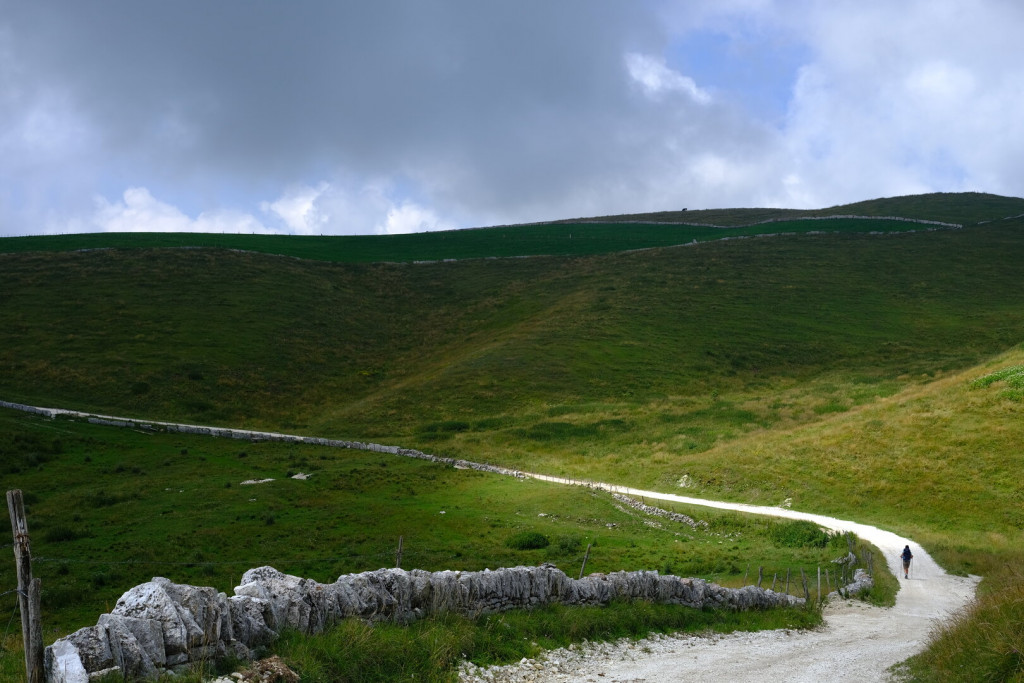
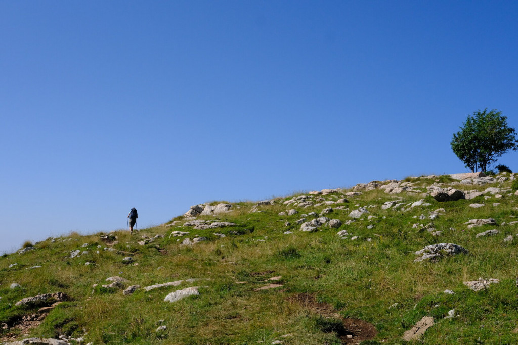
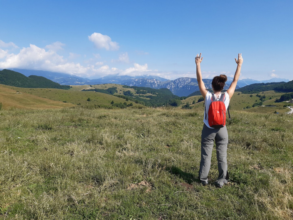
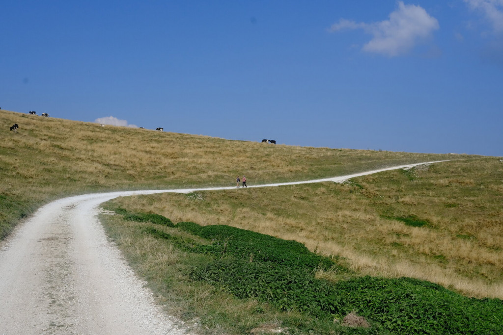
A Glimpse of Stage 4
Must-See
Corno d’Aquilio
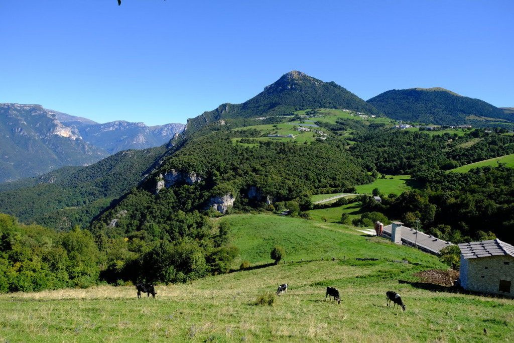
Corno d’Aquilio (1,545 m) is one of the most recognisable peaks of the upper Lessinia and overlooks the Valpolicella. Its profile stands out clearly from the plain, marking the natural boundary between the plateau and the Adige Valley. The summit, crowned by a cross, offers wide views over the Verona plain and Mount Baldo; on clear days, Lake Garda appears remarkably close, almost within reach. At its base lies the Spluga della Preta, one of the deepest karst cavities in Italy. Corno d’Aquilio is a landmark of the area, where the Lessinia mountains meet the Valpolicella.
Spluga della Preta
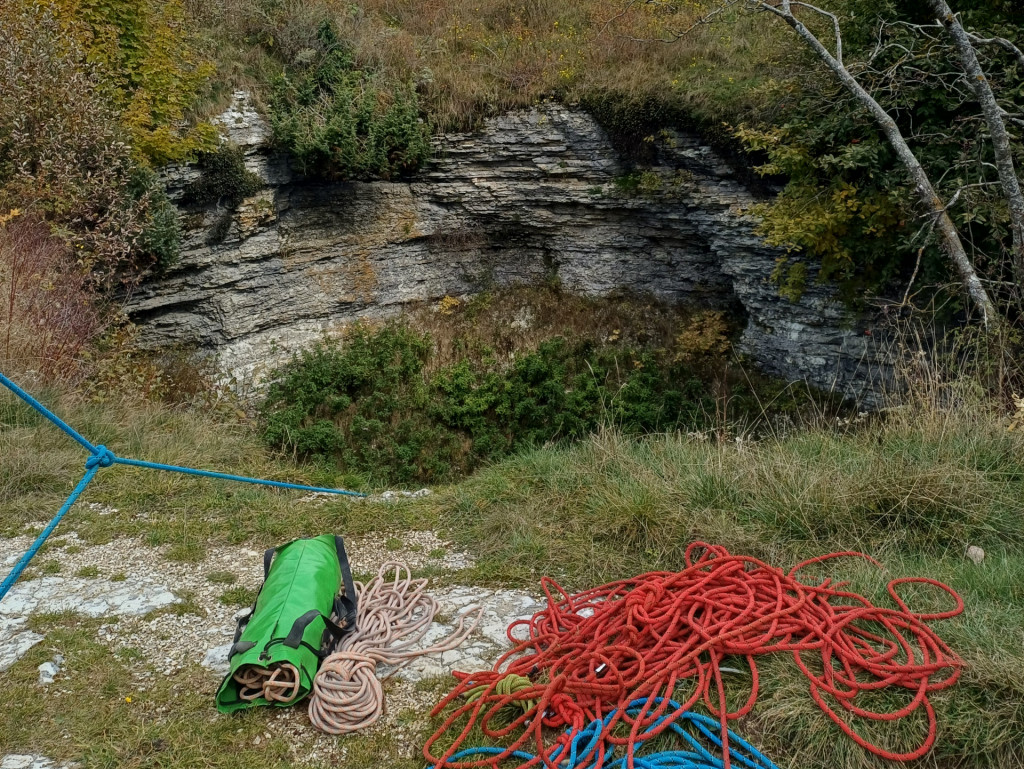
The Spluga della Preta is one of the most famous karst caves in Italy and among the best-known abysses of the Prealps. For several years, it was considered the deepest abyss in the world: modern explorations have measured its depth at about 877 meters, with a total extension of more than 4 kilometers. In the 1950s, it was the first abyss in the world to be explored beyond 500 meters, becoming a landmark for international speleology and attracting cavers from all over Europe.
The entrance, at 1,483 meters above sea level, opens just below the summit of Corno d’Aquilio (1,545 m), inside a funnel-shaped sinkhole about 20 meters wide. From here, one descends into the first and deepest shaft (-131 m), followed by a sequence of vertical drops and galleries crossing all the main limestone layers of the Lessinia plateau, from the Biancone to the Dolomia.
In 1964, during an expedition of the “Amici della Natura” Society of Verona, speleologist Marisa Bolla Castellani lost her life. In 1970, near the entrance, a small chapel was built in honor of Saint Benedict Abbot, patron saint of speleologists. In the 1990s, the “Corno d’Aquilio Operation” brought together more than 200 cavers to remove waste that had accumulated in the cave.
Today, the Spluga is fenced off, closed to the public, and reserved for authorized expert cavers. Its presence along the trail bears witness to the extraordinary depth and complexity of the underground world of Lessinia.
Grotta del Ciabattino

Near the Spluga della Preta lies the Grotta del Ciabattino, a horizontal karst cave that is easily accessible from the trail. The entrance, clearly visible after crossing a dry-stone wall in a grassy hollow, leads into a wide natural chamber that can be explored without speleological equipment, though a flashlight is recommended.
The cave develops within the Jurassic red limestones of Lessinia and features walls rich in marine fossils, such as ammonites and belemnites, clearly visible along its inner surfaces.
During the colder months, thanks to the stable microclimate and low exposure to sunlight, remarkable ice formations appear, adding beauty to the cave and attracting both hikers and photographers.
The cave is freely accessible, but visitors are urged to show respect and care in order to preserve its delicate natural balance.
I Busoni – Military Tunnels of Cima Borghetto
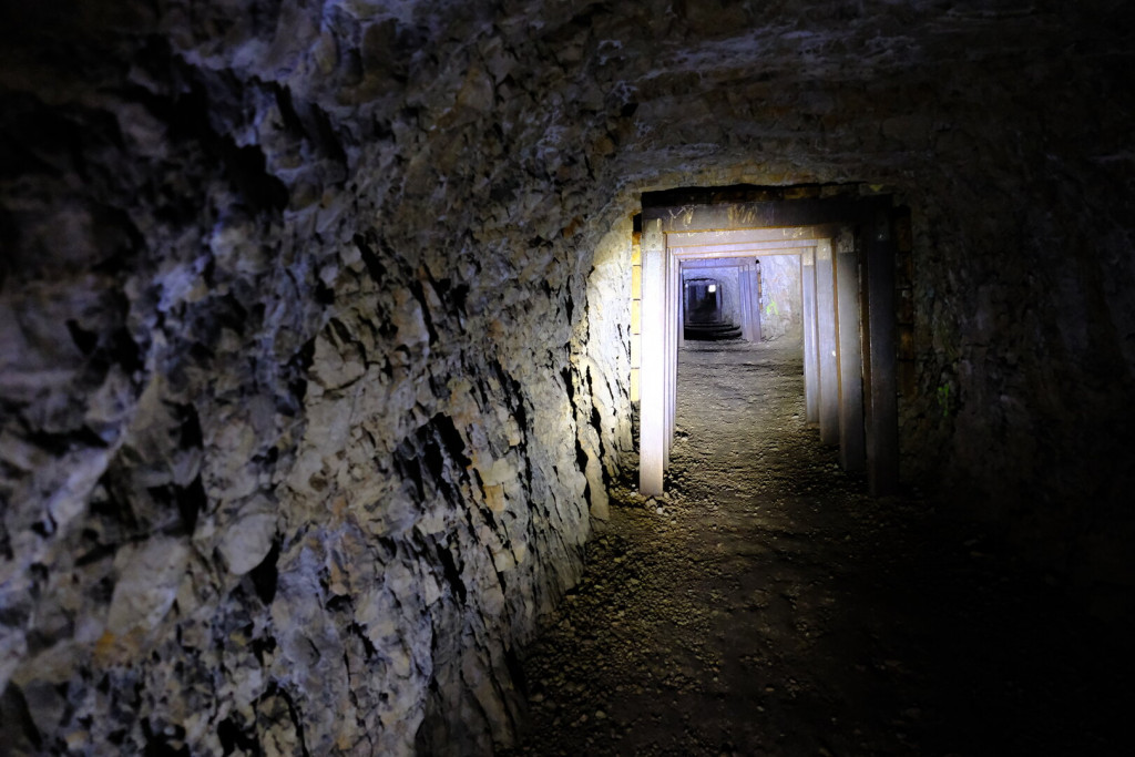
Beneath the slopes of Cima Borghetto, in a strategic position along the ridge overlooking the Vallagarina, lie the Busoni: a system of military tunnels excavated in 1916 by the Royal Italian Army during the First World War. Built as artillery posts and shelters for the troops, they were never used in combat, but today stand as a valuable historical testimony of military architecture in Lessinia.
The main entrance opens in the woods, not far from the trail connecting Corno d’Aquilio with the village of San Michele. The tunnel runs through the mountain for more than 300 meters, gently descending until it emerges onto a natural balcony with a spectacular view over the Vallagarina. Inside, hand-carved spaces follow one another: side chambers, niches, loopholes, and a small final room, from which a short staircase leads to a rocky panoramic terrace.
The visit does not require technical equipment, but a good flashlight is essential: the interior is completely dark, and the humid, silent atmosphere conveys the memory of those who lived and worked here during wartime. Recently cleaned and secured, the Busoni represent a place of great fascination, where nature, history, and landscape merge in a powerful and authentic way.
Sega di Ala
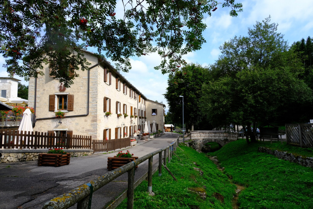
Sega di Ala (Municipality of Ala, Trento, 1,224 metres above sea level) is the endpoint of stage 4 of the Cammino and an ideal base for excursions in the Trentino side of Lessinia and the high western Lessinia, a landscape of wide pastures dotted with malghe and casare still used today for summer grazing.
At the centre of the village stands the small church of San Rocco, patron saint of the locality, built in the mid-twentieth century, probably on the site of an earlier chapel.
The area is rich in traces of the past, from the Middle Palaeolithic to the Middle Ages and into the modern era. It was perhaps here that a famous feat of Prince Eugene of Savoy took place: in the early eighteenth century, in order to outflank the French troops entrenched at the Chiusa di Ceraino, he led his army – 15,000 men, 5,000 pack animals, around ten cannons and a hundred wagons – across these mountains before descending towards Verona.
Over the centuries, primitive hunters searching for game, marching armies seeking to surprise their enemies, and travellers of every era passed through these places, leaving behind a legacy of historical traces still visible today.
Monte Baldo
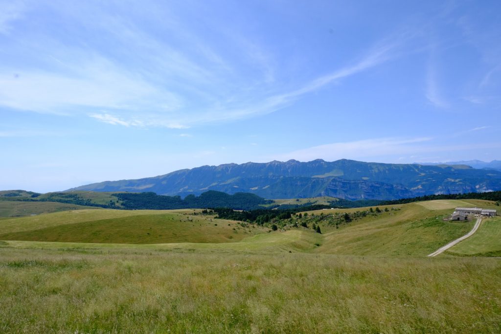
From the ridges of Lessinia, especially along the stretch between Corno d’Aquilio, Malga Fanta and Passo della Morte, the view to the west is dominated by the long ridge of Monte Baldo. Its compact and unmistakable profile rises beyond the Adige Valley, clearly marking the natural boundary between the Pre-Alpine environment and the shores of Lake Garda.
On clear days, the entire skyline can be distinguished, from Monte Telegrafo to the Altissimo di Nago. To the south, where the mountain gently descends toward the plain, Lake Garda appears in the distance as a shimmering blue glow on the horizon.
Though belonging to another landscape, Monte Baldo becomes a constant presence along our path. Always recognizable in the distance, it accompanies the gaze stage after stage, like a discreet yet familiar landmark. It is a mountain that is “other,” yet somehow involved: silent, solid, a companion.
Also known as the “Garden of Europe” for its extraordinary botanical variety, Monte Baldo is a strong and constant presence, marking and accompanying the experience of the Lessinia trail.
The Pozze (Watering Ponds)
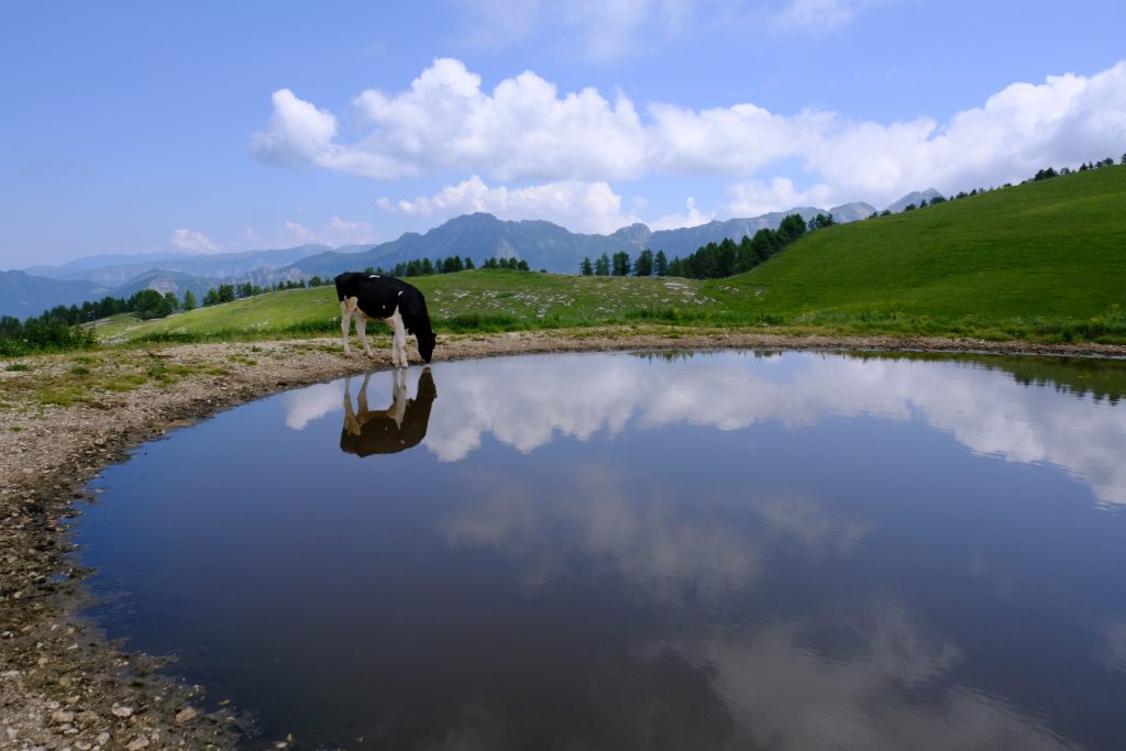
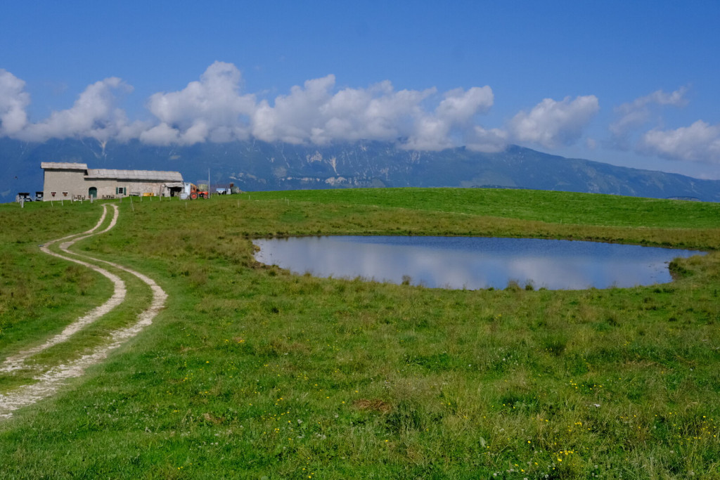
The pozze are small artificial basins built in the pastures of Lessinia to provide water for grazing livestock during the summer months. They are usually located near the main malghe (alpine huts) or along the routes used to move the herds.
Their construction responds to the lack of natural springs at high altitude: they are dug directly into the ground and lined at the bottom with compacted clay to make them watertight, or, in more recent cases, with plastic sheets or concrete. The banks may be finished with slabs of local stone or left as bare earth.
Water supply comes from rainfall or snowmelt, which flows into the ponds through furrows and small collection channels.
Beyond their primary function as watering places, the pozze also play an important role in agro-pastoral management and require regular maintenance to prevent silting, overgrowth of vegetation, or water loss.