

Stage 3
From Molina to Fosse
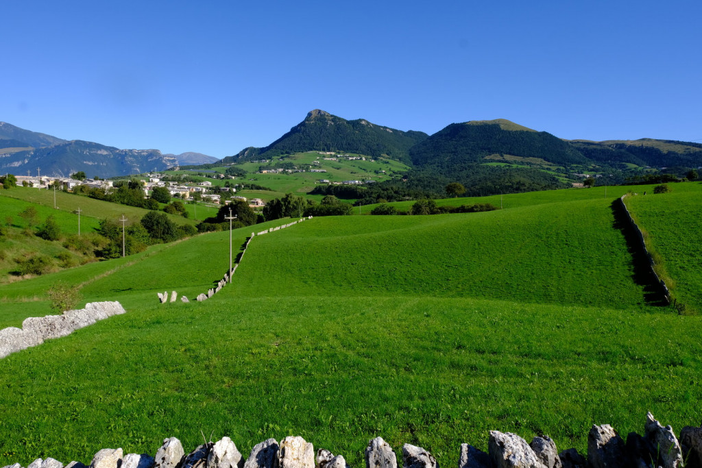
The third stage of the Cammino leads from the village of Molina, with its ancient stone architecture, mills and waterfalls, to the plateau of Fosse, dominated to the north by Mount Corno.
The route passes through characteristic hamlets such as Gorgusello and Breonio, with the church of San Marziale, and winds its way through woods, ravines and stone quarries.
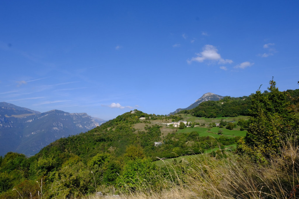
The ascent to Mount Loffa offers panoramic views of the valley and the surrounding mountains before descending towards Fosse and its historic hamlets.
A varied and evocative itinerary that weaves together nature, history and the landscapes of Lessinia.
ROUTE
The third stage starts from the churchyard of the parish church in Molina and initially follows CAI trail 252 towards Breonio. After passing the evocative Molin de Lorenzio, an ancient mill that has been restored and is still in operation, the route climbs gently to Gorgusello, a characteristic Lessinia hamlet built entirely of stone. After about one kilometre, Breonio is reached: here the route turns immediately left onto the SP33 and, after about 300 metres, turns left again onto the small road leading to the cemetery. After passing the cemetery, the walk continues along a country lane following the Sentiero Azzurro, laid out and promoted by the Pro Loco of Breonio. The path first leads to the locality of Paroletto and then continues northwards to Monte Crocetta, an exceptionally panoramic viewpoint. From here the route descends back towards Breonio, where it is well worth stopping to visit the beautiful church of San Marziale (visits by appointment).
From here the route continues along CAI trail 240 to a stone stele known as the Madonna Cimbra. Turning left, after about 400 metres the CAI trail is left by turning left again, following a pleasant path that crosses the Vajo dei Foi and climbs towards the hermitage and the hamlet of Casarole. The second part of the hamlet is then reached and, taking a white gravel road, the route turns left and continues through small settlements until reaching Corno di Semalo.
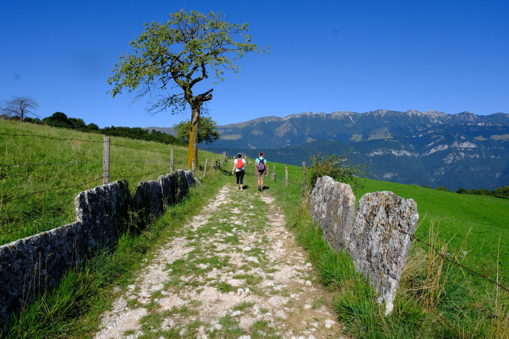
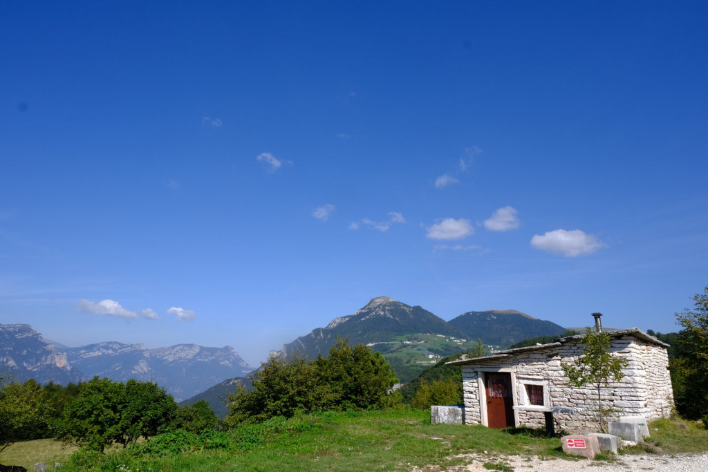
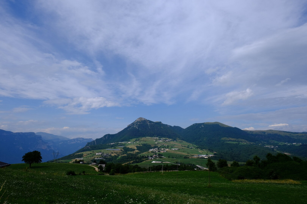
Here the path on the right is taken, climbing up to the SP33, which is crossed, before continuing uphill among the modern stone quarries to reach Monte Loffa (1,055 m). The route skirts the summit anticlockwise along a fine panoramic path, then turns onto a gravel road heading east. Shortly afterwards, a steep descent leads down to the SP12, from where the walk continues along secondary roads to Fosse, a village at the foot of Corno d’Aquilio. In Fosse, the itinerary finds a natural resting point: a small upland settlement, compact and bright, where the essence of the Lessinia landscape is clearly perceived, among ancient farmsteads, local stone and open views towards the high pastures.


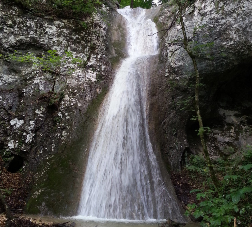
Rio Paraiso Waterfalls Variant
The Rio Paradiso waterfalls, just above Breonio, are among the most evocative and hidden corners of Lessinia.
The stream, enclosed within the wild Vajo Casaròle, descends in a sequence of spectacular drops surrounded by woodland.
The movement of the water has inspired evocative names such as the Angel Waterfall, Eve, Adam and the Serpent.
The path leading to them alternates between easy stretches and more adventurous sections, some of which are equipped with metal cables.
It is a short but intense hike that offers powerful emotions between unspoiled nature and picturesque views.
A place where wild beauty meets an almost fairy-tale atmosphere, to be discovered with careful footing. The hike is recommended for experienced walkers. Difficulties increase significantly in case of rain or ice, making the route treacherous and slippery.
ROUTE
From the centre of Breonio, take the Fasoli trail (partly CAI 252), which descends into the Vajo Casaròle. After a few minutes you enter the wild environment of the Rio Paradiso, with woodland and rock formations. The route passes the best-known waterfalls in sequence: the Angel, the Serpent, Eve and Adam, all reachable via marked detours. Then continue up a very steep, equipped path until you meet the main route of the Cammino, and by following it you reach the hamlet of Casarole shortly afterwards.
- Total distance: 3 km
- Minimum elevation: 655 m
- Maximum elevation: 872 m
- Total ascent: 280 m
- Total descent: 360 m
Download the GPX track
Cascate Val Paraiso.gpxConnection to Sant’Anna d’Alfaedo
If you choose to walk the Route in two sections, you can simply use the variant that leads to Sant’Anna d’Alfaedo. This detour allows you to complete the first loop of five stages, dedicated to Valpolicella and the lower Lessinia area, ending the third stage directly in Sant’Anna and then continuing with the following two stages.
The same variant is also used for the second loop, the one in upper Lessinia, which starts and ends in Sant’Anna d’Alfaedo and unfolds across the three highest stages of the route.
ROUTE
Descending from Monte Loffa toward Fosse, simply continue along the dirt road without taking the left-hand turn. Keep going straight until you meet Provincial Road 12 and follow it downhill to reach the square of Sant’Anna d’Alfaedo. The entire variant is about one and a half kilometers long.
- Total distance: 1.6 km
- Minimum elevation: 940 m
- Maximum elevation: 1.030 m
- Total ascent: 10 m
- Total descent: 85 m
Download the GPX track
Monte Loffa - Sant'Anna d'Alfaedo.gpxWhere to Eat
currently being updated
Where to Sleep
currently being updated
A Glimpse of Stage 3
Must-See
Gorgusello
Gorgusello is made up of two small hamlets: Gorgusello di Sopra (Upper) and Gorgusello di Sotto (Lower). Both are compact clusters of houses arranged in parallel rows facing south. In front of the buildings are stone-paved courtyards, enclosed by arched gateways that create a sense of intimacy and harmony.
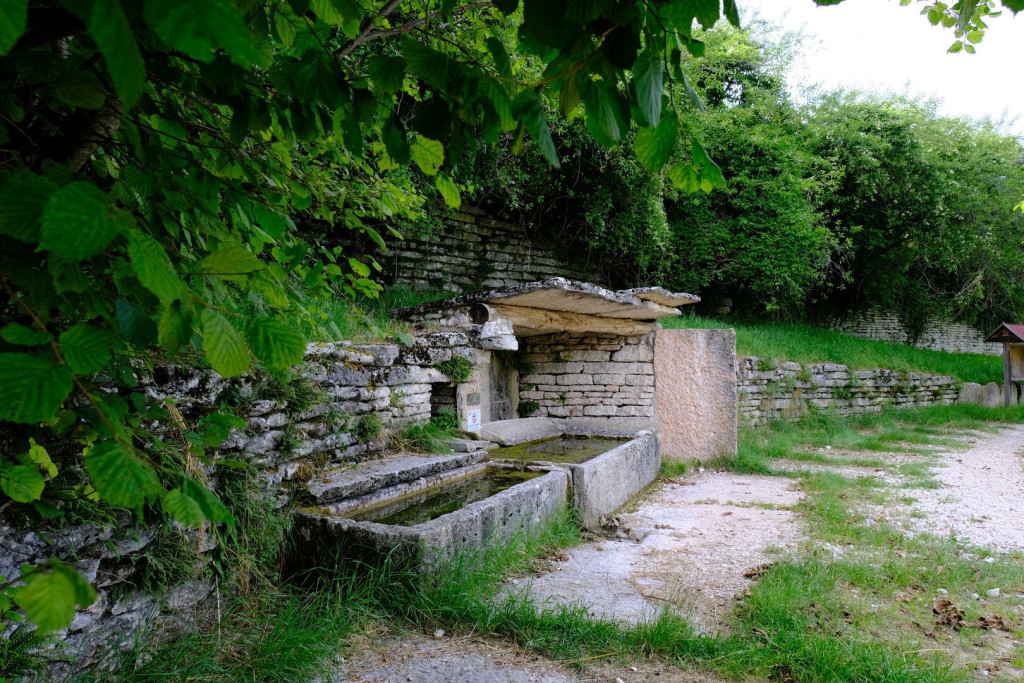
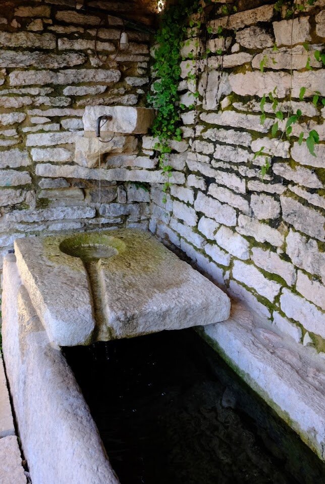
Between the two groups stands a stone fountain, partially covered, with a tap, a trough for livestock, and slanted stone basins once used for washing clothes. Gorgusello has more than one fountain: the hamlet sits above a rich aquifer that feeds several small streams flowing downhill to Molina, where they power mills and waterfalls.
Until a few decades ago, Gorgusello di Sotto was dominated by a tall dovecote tower, now collapsed. Other tower houses, once status symbols of wealthy families, are still present in the hamlet.
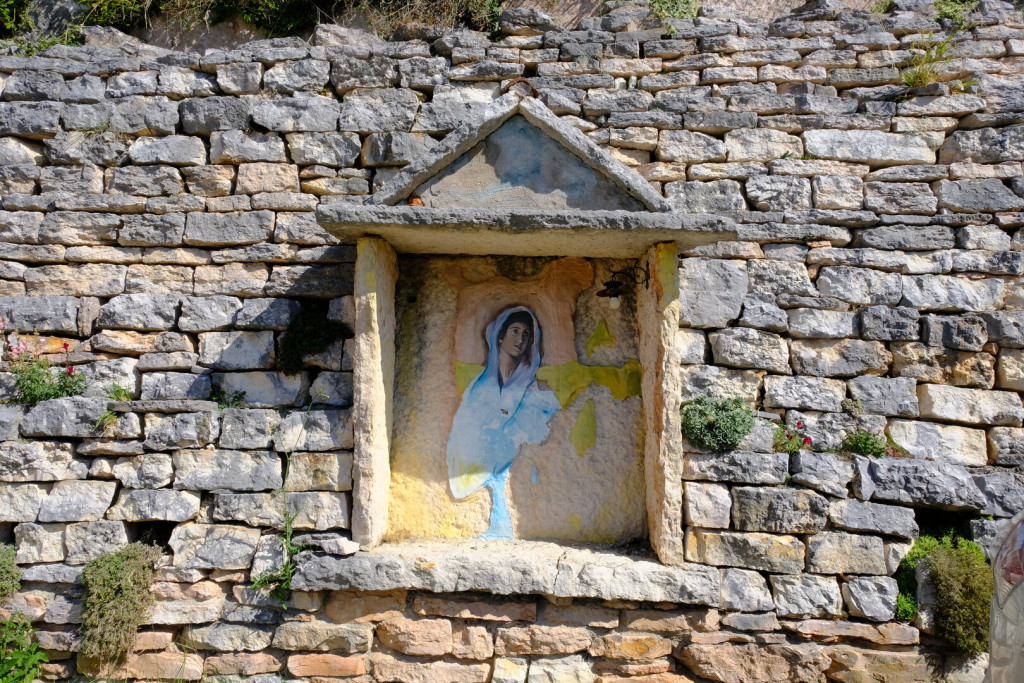
Just beyond Gorgusello, at the start of the old road to Breonio, there’s a remarkable fountain worth stopping for: a clever construction where the basin is supported by large slanted stones, an ingenious solution that gives the structure strength and durability over time.
Breonio
The village lies in a hollow at the foot of Monte Crocetta. The old hamlets, once separate, have been joined together over time by more recent building development. In the past, the village was divided into two distinct parts: the upper and lower hamlets, each with its own fountain and, later, its own malga (mountain dairy) for processing milk.
The municipal territory once included, in addition to nearby hamlets such as Gorgusello and Molina, the entire area of Sant’Anna d’Alfaedo. It was therefore a border municipality, and Breonio housed a military barracks and several outposts of the Italian customs police (Guardia di Finanza).
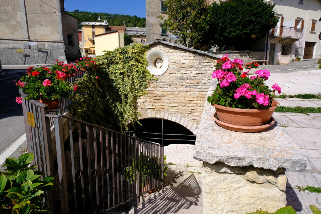
Particularly noteworthy are the fountains in the lower part of the village. Just below the apse of the Church of San Marziale is the drinking water fountain: the spring lies further down and can be reached by descending a stone staircase. A container is provided here, designed to fill buckets without having to immerse them directly into the spring.
A few steps to the east, one finds a livestock watering trough and a monumental stone fountain with wide washbasins, crafted with great care. Of special interest are the small channels that carried away the soapy water from the slanted stones, helping keep the main basin clean. Adding charm to the scene are the flowers that fill every available corner with color and life.
The Church of San Marziale
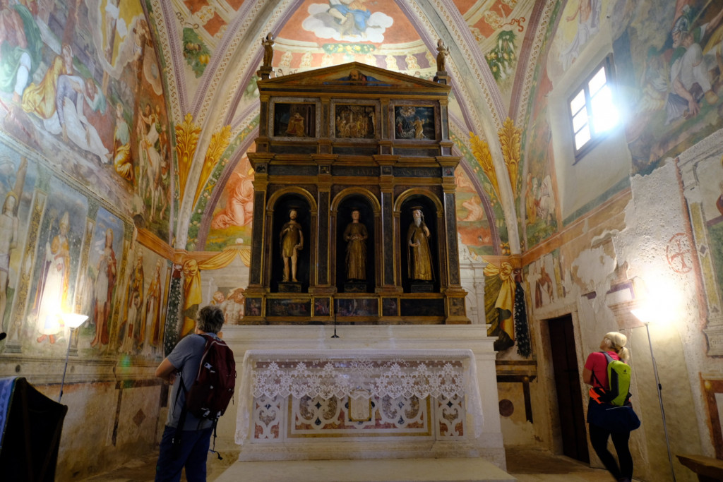
At the heart of the lower hamlet of Breonio stands the village’s oldest church: San Marziale. Built in medieval times, it was enriched and decorated during the 16th century, thanks in part to the noble Maffei family, who held a kind of local lordship over the area.
The church’s apse is considered one of the most beautiful among the churches of the Verona region. On the lower walls are splendid frescoes of saints — including Saint Christopher, Saint Roch, and Saint Agapitus — painted by the Veronese artist Francesco Morone in 1510.
Higher up, three large frescoes depict the Last Things (Novissimi): the Crucifixion, animated by a crowd of figures; the Descent into Limbo, featuring a monstrous creature with a gaping mouth; and the Resurrection, partially damaged by the later opening of a window.
The ceiling is divided into four sections, each portraying one of the Evangelists (Matthew, Mark, Luke, and John), shown with their respective symbols and surrounded by lively decorations of flowers and fruits. On the triumphal arch are the faces of the prophets, all painted with remarkable skill and attributed to Domenico Brusasorci, around 1560.
At the center of the apse rises a refined and majestic wooden altarpiece by Francesco Badile (ca. 1530). In its central niche stand the statues of the church’s three patron saints: Saint John the Baptist, Saint Marziale, and Saint Anthony the Abbot. Above are three scenes from the Gospels, and in the predella below, three episodes from the lives of the saints.
Casarole
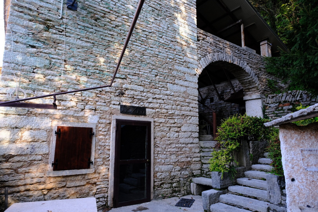
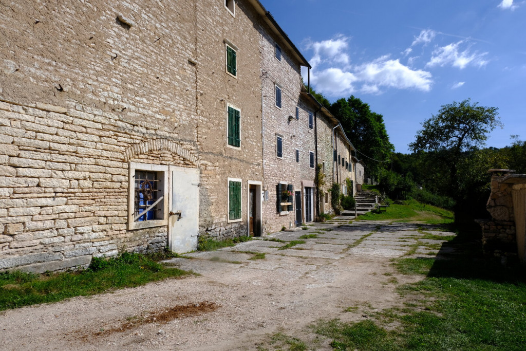
It is a typical hamlet of Lessinia, set in isolation at 840 meters above sea level, perched above the Adige Valley. It consists of two distinct clusters, both built in slab stone, showing a remarkable variety of uses and an ingenious ability to create spaces and functional solutions to the many challenges posed by the steep terrain.
The open-air slab stone quarries
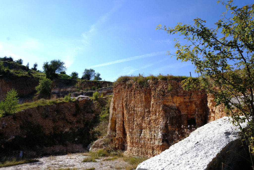
After a decree issued in the mid-1950s, which banned underground quarrying due to the many fatalities caused by tunnel collapses, new areas were sought upstream of Prun to allow open-air excavation. For some decades there was also a strong demand, from major companies engaged in large-scale roadworks and urban development, for the gravel covering the ‘good’ stone layers (the so-called cappellaccio), thus sparing quarrymen an otherwise unsustainable expense. Several areas were identified in the municipality of Sant’Anna d’Alfaedo (Cortine near Giare and Monte Loffa) and along the border with the municipality of Fumane (Sottosengia and the western slope of the Vaio Gravazzo).
Excavation is carried out mechanically, progressing in steps to prevent collapses and facilitate the transport of the quarried slabs. Over time, the market for Lessinia (or Prun) Stone has gone through contraction phases, which means that existing quarries have not yet been exhausted. For each quarry, a restoration plan is required and overseen by the Veneto Region. In some cases, the vertical quarry walls have been sprayed with a dark liquid to reduce the visual impact of the excavation.
San Giovanni in Monte
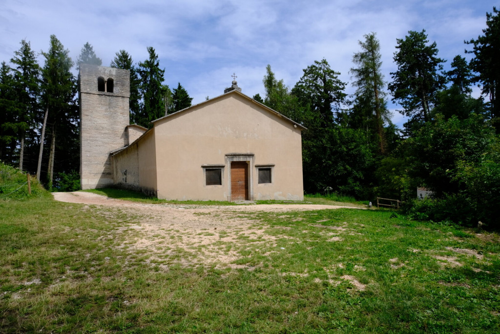
The church, dating back to the 15th–16th century, likely featured a gabled façade with a central rose window and a main entrance aligned with the nave. The interior had a single nave, with a secondary entrance on the side and a window on the south wall. On the north wall stood the funerary tomb of the noble Maffei family.
A triumphal arch led into the square-shaped apse, which was covered by a ribbed vault. Behind the apse, a separate room served as the sacristy.
To the north of the apse rose the solid, massive bell tower.
Inside, the liturgical arrangement included three altars: the main altar, located in the apse and dedicated to Saint John the Baptist, and two smaller side altars flanking the triumphal arch, dedicated respectively to the Crucifix and to Saint Roch.
Fosse
The village has been completely transformed by modern development, which has merged the two original centers: the cluster of courtyards with the large fountain, and the area now dominated by the parish church.
Agricultural activities have moved to the outskirts, but they remain lively in the surrounding hamlets. To the south and west lie the settlements of Fosse, Vaona, and Michelazzi, while to the north — beyond the closer hamlets of Camparso, Curto, and Martelengo — one can clearly see those nestled at the foot of Corno d’Aquilio: Lavarin, Adamoli, Tommasi, and Coste.
The Cammino del Vino e della Pietra passes through these northern hamlets, offering walkers spectacular views of Lake Garda from several points along the way.